 Geocatalogue of the Royal Museum for Central Africa
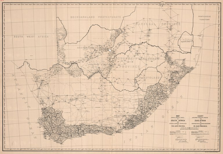
Map shewing geodetic survey of South Africa and progress of secondary triangulation of The Cape Province
Title: Map shewing geodetic survey of South Africa and progress of secondary triangulation of The Cape Province - Scale: 2000000
Simple
- Date (Creation)
- 1920-01-01
- Date (creationEndDate)
- 1920-12-31
- Date (creationEndDate)
- 1920-01-01
- Citation identifier
- 007199
- Keywords
-
-
South Africa
-
- Keywords
-
- Keywords
-
-
dénominations géographiques
-
- Keywords
-
-
miscellaneous
-
- Keywords
-
-
topographic map
-
- Keywords
-
-
method
-
- Keywords
-
-
triangulation
-
- Use limitation
-
© Royal Museum for Central Africa
- Access constraints
- Other restrictions
- Other constraints
-
© Royal Museum for Central Africa
- Denominator
- 2000000
- crt:MD_ScaleRemark
-
échelle calculée
- Language
- eng_us
- Topic category
-
- Geoscientific information
- Environment
N
S
E
W
))
- Begin date
- 1920-01-01
- End date
- 1920-12-31
- crt:originType
-
Auteur
- crt:originName
-
Borman, J.J.
- crt:originType
-
Éditeur
- crt:originName
-
The Government Printer
- crt:originType
-
Éditeur
- crt:originName
-
Royal Museum for Central Africa
- crt:originType
-
Responsable éditorial
- Codespace
-
RMCA:custom
- Version
-
0.9
- Distribution format
-
-
hardcopy
(
)
-
hardcopy
(
)
- Hierarchy level
- Dataset
Conformance result
- Date (Publication)
- 2014-03-04
- Explanation
-
inapplicable
- Statement
-
Date verification: 2018-04-24 00:00:00, Name verification: EG
- File identifier
- BE-RMCA-EARTHS-007199 XML
- Metadata language
- Français
- Hierarchy level
- Dataset
- Date stamp
- 2025-11-07
Point of contact
Royal Museum for Central Africa
-
maps@africamuseum.be
(
Unité Cartographie (Dept. Sciences de la Terre)
)
Royal Museum for Central Africa, Leuvensesteenweg, 13, 3080 Tervuren
,
Tervuren
,
3080
,
Belgium
Overviews
Spatial extent
N
S
E
W
Provided by

Associated resources
Not available