 Geocatalogue of the Royal Museum for Central Africa
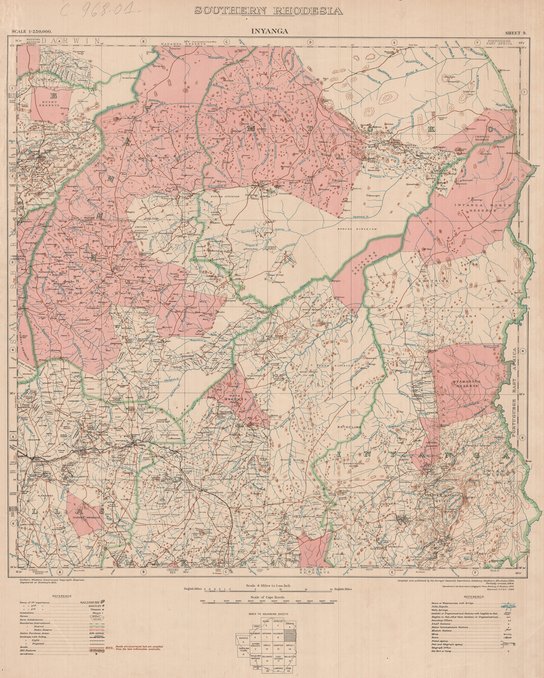
Map of Inyanga, southern Rhodesia, sheet 9
Cette carte livre des informations sur les différentes villes et infrastructures de Inyanga, une entité de la Rhodésie du Sud vers les années 1949.
Simple
- Date (Publication)
- 1949-01-01
- Date (Creation)
- 1949-01-01
- Date (Revision)
- 1949-01-01
- Citation identifier
- CD-CRSN-DOC1611
-
None
-
-
rhodesie
-
-
None
-
-
inyanga
-
-
GEMET - INSPIRE Themes
-
-
Adresses
-
-
GEMET - INSPIRE Themes
-
-
Occupation des terres
-
-
GEMET - INSPIRE Themes
-
-
Dénominations géographiques
-
- Use limitation
-
None
- Access constraints
- Other restrictions
- Other constraints
-
Pas de restriction d'accès public selon INSPIRE
- Denominator
- 250000
- Language
- English
- Character set
- MD_CharacterSetCode_utf8
- Topic category
-
- Location
- Location
- Imagery base maps earth cover
- Description
-
Liste des emprises
))
- Reference system identifier
- EPSG / urn:ogc:def:crs:EPSG:6.11:4258
- Distribution format
-
-
JPEG JFIF
(
None
)
-
JPEG JFIF
(
None
)
- Protocol
-
http
- Name of the resource
-
Centre de Recherche en Sciences Naturelles (CRSN) Lwiro
- Hierarchy level
- Dataset
Conformance result
- Date (Creation)
- 2010-11-23
- Explanation
-
See the referenced specification
- Pass
- Yes
- Statement
-
Compiled and published by the Surveyor General's Department, Salisbury, Southern Rhodesia, 1929. Partially revised, 1944. Reproduced at the Government Lithographic Press, Salisbury, S. Rhodesia, 1944. Reprinted, G.P and S. - 1949.
- File identifier
- CD-CRSN-DOC1611 XML
- Metadata language
- Français
- Character set
- MD_CharacterSetCode_utf8
- Hierarchy level
- Dataset
- Date stamp
- 2018-04-13
- Metadata standard name
-
ISO19115
- Metadata standard version
-
2003/Cor.1:2006
Overviews
Spatial extent
Provided by
