 Geocatalogue of the Royal Museum for Central Africa
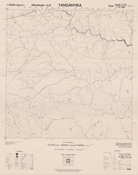
Tanganyika Sheet N°315-I South- C-37-T-II-NW, 1950
Cette carte indique l'hydrographie, la végétation, les fermes...de la partie Nord-Ouest de la Tanzanie.
Simple
- Date (Publication)
- 1950-01-01
- Date (Creation)
- 1950-01-01
- Date (Revision)
- 1950-01-01
- Citation identifier
- CD-CRSN-DOC2209
-
-
tanganyika
-
-
-
tanzanie
-
-
-
localisation
-
-
-
parc national albert
-
-
-
structure
-
-
GEMET - INSPIRE Themes
-
-
Dénominations géographiques
-
-
GEMET - INSPIRE Themes
-
-
Hydrographie
-
-
GEMET - INSPIRE Themes
-
-
Occupation des terres
-
- Use limitation
-
None
- Access constraints
- Other restrictions
- Other constraints
-
Pas de restriction d'accès public selon INSPIRE
- Denominator
- 50000
- Language
- English
- Topic category
-
- Location
- Inland waters
- Imagery base maps earth cover
- Description
-
Liste des emprises
))
- Reference system identifier
- urn:ogc:def:crs:EPSG:6.11 / 4258 / 6.11
- Distribution format
-
-
GeoTIFF
(
None
)
-
GeoTIFF
(
None
)
- Name of the resource
-
Centre de Recherche en Sciences Naturelles (CRSN) Lwiro
- Hierarchy level
- Dataset
Conformance result
- Date (Creation)
- 2010-11-23
- Explanation
-
See the referenced specification
- Pass
- Yes
- Statement
-
Compiled and drown by Directorate of Colonial Surveys without ground control. Approximate scale and azimuth obtained from co-ordinates of Tunduru taken from the 1:500000 Tunduru EAF 655 map and radar track. Computed from lindi Radar Station.
Air photography by RAF August to Sept 1947, June to July 1949.
Photolithographed and printed at G.SG.S., 1950.
- File identifier
- CD-CRSN-DOC2209 XML
- Metadata language
- Français
- Character set
- MD_CharacterSetCode_utf8
- Hierarchy level
- Dataset
- Date stamp
- 2019-02-11
- Metadata standard name
-
ISO19115
- Metadata standard version
-
2003/Cor.1:2006
Overviews
Spatial extent
Provided by
