 Geocatalogue of the Royal Museum for Central Africa
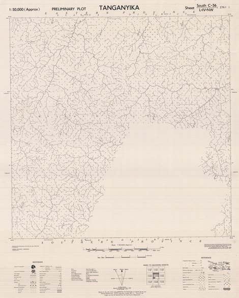
Tanganyika (Preliminary Plot) Sheet South-C-36-L-IV-NW 297-I, 1950
Cette carte indique l'hydrographie, les agglomérations, les voies de communication...d'une entité de Tanganyika (En Tanzanie)
Simple
- Date (Publication)
- 1951-01-01
- Date (Creation)
- 1951-01-01
- Date (Revision)
- 1951-01-01
- Citation identifier
- CD-CRSN-DOC2326
-
-
tanganyika
-
-
-
tanzanie
-
-
-
localisation
-
-
-
structure
-
-
GEMET - INSPIRE Themes
-
-
Adresses
-
-
GEMET - INSPIRE Themes
-
-
Réseaux de transport
-
-
GEMET - INSPIRE Themes
-
-
Hydrographie
-
-
GEMET - INSPIRE Themes
-
-
Occupation des terres
-
- Use limitation
-
None
- Access constraints
- Other restrictions
- Other constraints
-
Pas de restriction d'accès public selon INSPIRE
- Denominator
- 50000
- Language
- English
- Topic category
-
- Location
- Transportation
- Inland waters
- Imagery base maps earth cover
- Description
-
Liste des emprises
))
- Reference system identifier
- urn:ogc:def:crs:EPSG:6.11 / 4258 / 6.11
- Distribution format
-
-
GeoTIFF
(
None
)
-
GeoTIFF
(
None
)
- Name of the resource
-
Centre de Recherche en Sciences Naturelles (CRSN) Lwiro
- Hierarchy level
- Dataset
Conformance result
- Date (Creation)
- 2010-11-23
- Explanation
-
See the referenced specification
- Pass
- Yes
- Statement
-
Compiled and drawn by Directorate of Colonial Surveys without ground control. Approximate scale and azimuth obtained from adjencent sheets and radar tracks.
Air photography by R.A.F. from May to August 1948.
Photolithographed and printed at G.S.G.S. 1951.
- File identifier
- CD-CRSN-DOC2326 XML
- Metadata language
- Français
- Character set
- MD_CharacterSetCode_utf8
- Hierarchy level
- Dataset
- Date stamp
- 2019-03-29
- Metadata standard name
-
ISO19115
- Metadata standard version
-
2003/Cor.1:2006
Overviews
Spatial extent
Provided by
