 Geocatalogue of the Royal Museum for Central Africa
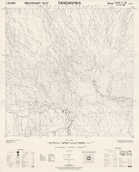
Tanganyika (preliminary plot) sheet south-C36-E-III-NW-246-II, 1950
Cette carte indique l'hydrographie, les édifices, les agglomérations et les voies de communication d'une entité au nord-ouest de Tanganyika en Tanzanie.
Simple
- Date (Publication)
- 1950-01-01
- Date (Creation)
- 1950-01-01
- Date (Revision)
- 1950-01-01
- Citation identifier
- CD-CRSN-DOC2345
Owner
Centre de Recherche en Sciences Naturelles (CRSN) Lwiro
Lwiro
,
Bukavu
,
00000
,
République démocratique du Congo
-
-
tanganyika
-
-
-
tanzanie
-
-
-
structure
-
-
-
localisation
-
-
GEMET - INSPIRE Themes
-
-
Hydrographie
-
-
GEMET - INSPIRE Themes
-
-
Bâtiments
-
-
GEMET - INSPIRE Themes
-
-
Sols
-
- Use limitation
-
None
- Access constraints
- Other restrictions
- Other constraints
-
Pas de restriction d'accès public selon INSPIRE
- Denominator
- 50000
- Language
- English
- Topic category
-
- Inland waters
- Structure
- Geoscientific information
- Description
-
Liste des emprises
N
S
E
W
))
- Reference system identifier
- urn:ogc:def:crs:EPSG:6.11 / 4258 / 6.11
- Distribution format
-
-
GeoTIFF
(
None
)
-
GeoTIFF
(
None
)
- Name of the resource
-
Centre de Recherche en Sciences Naturelles (CRSN) Lwiro
- Hierarchy level
- Dataset
Conformance result
- Date (Creation)
- 2010-11-23
- Explanation
-
See the referenced specification
- Pass
- Yes
- Statement
-
Compiled and drawn by Directorate of Colonial Surveys from control supplied by Directorate of Colonial Surveys.
Air Photography by R.A.F., April and July 1948, July 1949.
Photolitographed and printed at G.S.G.S. 1950.
- File identifier
- CD-CRSN-DOC2345 XML
- Metadata language
- Français
- Character set
- MD_CharacterSetCode_utf8
- Hierarchy level
- Dataset
- Date stamp
- 2019-04-05
- Metadata standard name
-
ISO19115
- Metadata standard version
-
2003/Cor.1:2006
Point of contact
Centre de Recherche en Sciences Naturelles (CRSN) Lwiro
Lwiro
,
Bukavu
,
00000
,
République démocratique du Congo
Overviews
Spatial extent
N
S
E
W
Provided by

Associated resources
Not available