 Geocatalogue of the Royal Museum for Central Africa
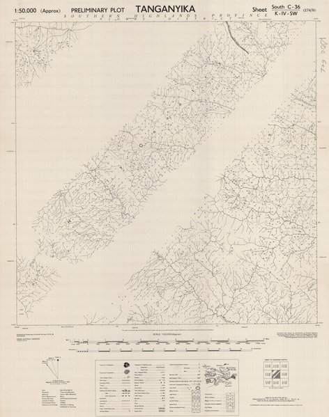
Preliminary plot Tanganyika 274/III, Tanzania
Cette carte (Tanganyika preliminary plot, sheet south C-36 274/III) montre l'emplacement des stations de police, des hopitaux, des églises, des missions, des mosquées, des temples, des écoles, des tribunaux, etc.
Simple
- Date (Publication)
- 1951-01-01
- Date (Creation)
- 1948-01-01
- Date (Revision)
- 1951-01-01
- Citation identifier
- CD-CRSN-DOC601
-
None
-
-
tanganyika
-
-
None
-
-
tanzania
-
-
None
-
-
tanzanie
-
-
GEMET - INSPIRE Themes
-
-
Unités administratives
-
- Use limitation
-
None
- Access constraints
- Other restrictions
- Other constraints
-
Pas de restriction d'accès public selon INSPIRE
- Denominator
- 50000
- Language
- English
- Topic category
-
- Boundaries
- Description
-
Liste des emprises
N
S
E
W
))
- Reference system identifier
- urn:ogc:def:crs:EPSG:6.11 / 4258 / 6.11
- Distribution format
-
-
JPEG JFIF
(
None
)
-
JPEG JFIF
(
None
)
- Name of the resource
-
Centre de Recherche en Sciences Naturelles (CRSN) Lwiro
- Hierarchy level
- Dataset
Conformance result
- Date (Creation)
- 2010-11-23
- Explanation
-
See the referenced specification
- Pass
- Yes
- Statement
-
Compiled and drawn by Directorate of Colonial Surveys.
- File identifier
- CD-CRSN-DOC601 XML
- Metadata language
- Français
- Character set
- MD_CharacterSetCode_utf8
- Hierarchy level
- Dataset
- Date stamp
- 2016-12-12
- Metadata standard name
-
ISO19115
- Metadata standard version
-
2003/Cor.1:2006
Point of contact
Centre de Recherche en Sciences Naturelles (CRSN)
Lwiro
,
Bukavu
,
00000
,
Belgique
None
Overviews
Spatial extent
N
S
E
W
Provided by

Associated resources
Not available