 Geocatalogue of the Royal Museum for Central Africa
6000000
Type of resources
Topics
Provided by
Years
Formats
Scale
-

Title: Atlas des colonies françaises Protectorats et territoires sous mandat de la France Afrique équatoriale française et Cameroun - Scale: 6000000
-

Title: Map showing the mineral concessions, stores, trade routes and proposed railways, in connection with the operations of Tanganyika concessions, Ltd., Railway map - Scale: 6000000
-
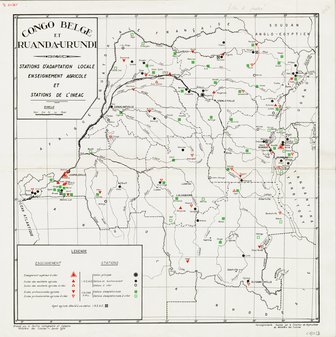
Title: Congo Belge et Ruanda-Urundi, Stations d'adaptation locale, enseignement agricole et stations de l'INEAC - Scale: 6000000
-

Title: Republica Popular de Angola Atlas geografico Volume 1 - Scale: 6000000
-

Title: Republica Popular de Angola Atlas geografico Volume 2 - Scale: 6000000
-

Title: Map of Africa - Scale: 6000000 - Carte d'un assemblage de deux feuilles - Sheet number/Numéro de feuille/Bladnummer: Nord
-

Title: Map of Africa - Scale: 6000000 - Carte d'un assemblage de deux feuilles - Sheet number/Numéro de feuille/Bladnummer: Sud
-

Title: Geology of South West Africa / Namibia - Scale: 6000000
-

Title: Afrique Equatoriale Française et Cameroun Carte économique, Atlas des colonies françaises Protectorats et territoires sous mandat de la France - Scale: 6000000