 Geocatalogue of the Royal Museum for Central Africa
750000
Type of resources
Topics
Provided by
Years
Formats
Scale
-
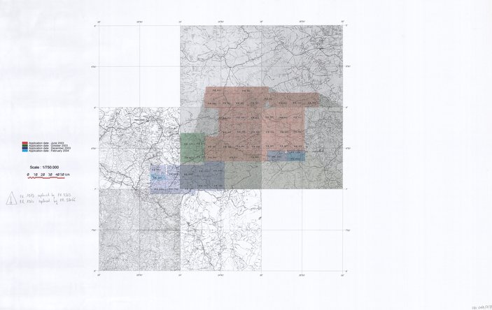
Title: Katanga - Scale: 750000 - ZAI061 (2/3) De Beers permits Minute
-

Title: Katanga - Scale: 750000 - ZAI062 (2/4) De Beers permits Minute
-
Title: Katanga - Scale: 750000 - ZAI062 (1/4) De Beers permits Minute
-
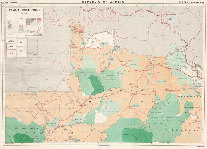
Title: Republic of Zambia, Zambia North-West - Scale: 750000 - Assemblage de 4 feuilles - Sheet number/Numéro de feuille/Bladnummer: 1
-
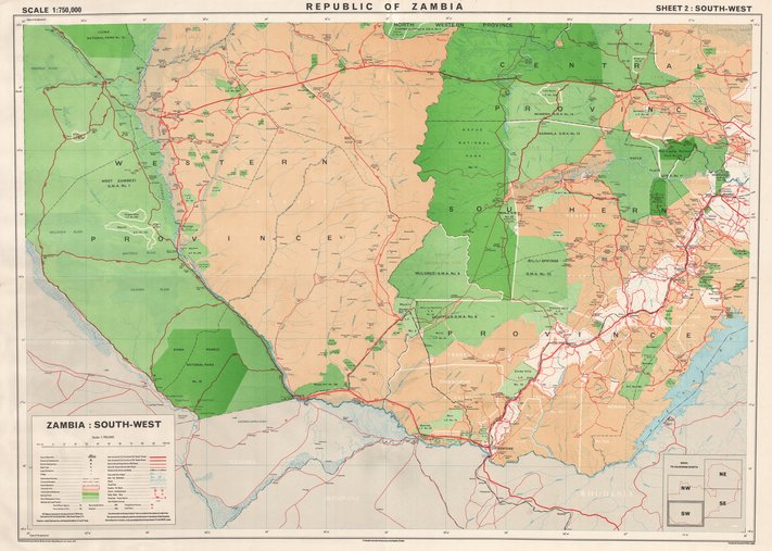
Title: Republic of Zambia, Zambia South-West - Scale: 750000 - Assemblage de 4 feuilles - Sheet number/Numéro de feuille/Bladnummer: 2
-

Title: Republic of Zambia, Zambia North-East - Scale: 750000 - Assemblage de 4 feuilles - Sheet number/Numéro de feuille/Bladnummer: 3
-
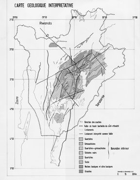
Title: Burundi, Carte géologique interprétative - Scale: 750000
-

Title: Katanga - Scale: 750000 - ZAI061 (1/3) De Beers permits Minute
-
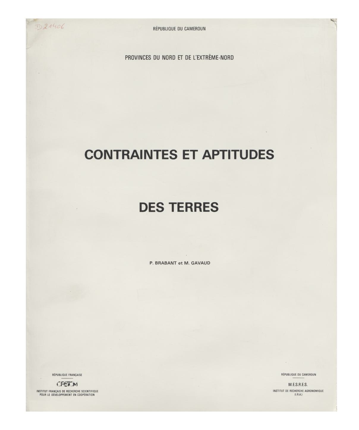
Title: Contraintes et aptitudes des terres, Provinces du Nord et de l'extrême-Nord - Scale: 750000
-
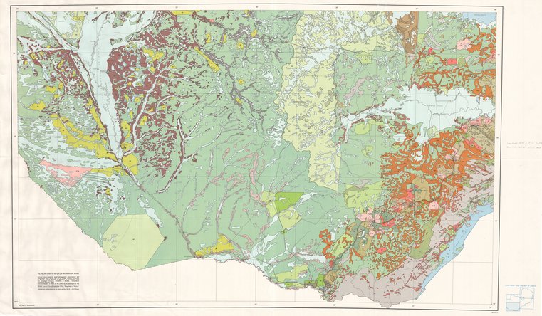
Title: Republic of Zambia Agriculture and Fishing Non-agricultural land - Scale: 750000 - Assemblage de 4 feuilles - Sheet number/Numéro de feuille/Bladnummer: 3