 Geocatalogue of the Royal Museum for Central Africa
1947
Type of resources
Topics
Keywords
Contact for the resource
Provided by
Years
Formats
Scale
-
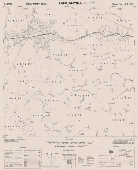
This map (Tanganyika preliminary plot, sheet SB-36 116/II) gives information about forests and scrubs.
-
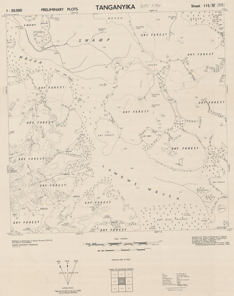
This map (Tanganyika preliminary plots, sheet SB-36 115/IV) gives information about forests and scrubs.
-
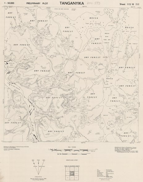
This map (Tanganyika preliminary plot, sheet SB-36 115/III) gives information about forests and scrubs.
-
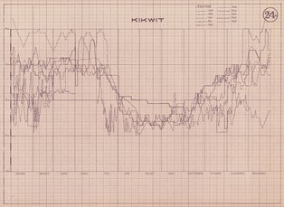
Title: Album de la Rivière Kwilu De Banningville à Kikwit, Kikwit - Sheet number/Numéro de feuille/Bladnummer: 24 bis
-
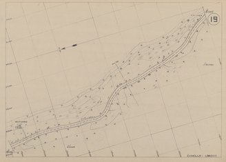
Title: Lualaba Bief Superieur - Scale: 25000 - Sheet number/Numéro de feuille/Bladnummer: 19
-

Title: Lowa, Lualaba Bief Moyen - Annotations - Sheet number/Numéro de feuille/Bladnummer: 16bis
-
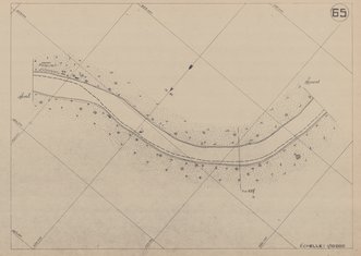
Title: Lualaba Bief Superieur - Scale: 10000 - Annotations au crayon - Sheet number/Numéro de feuille/Bladnummer: 65
-
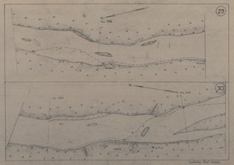
Title: Lualaba Bief Moyen - Scale: 20000 - Sheet number/Numéro de feuille/Bladnummer: 29-30
-
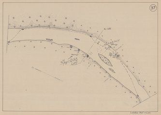
Title: Lualaba Bief Moyen - Scale: 20000 - Annotations - Sheet number/Numéro de feuille/Bladnummer: 37
-
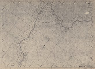
Title: Lualaba Bief Superieur - Scale: 25000 - Annotations au crayon - Sheet number/Numéro de feuille/Bladnummer: 41