 Geocatalogue of the Royal Museum for Central Africa
1953
Type of resources
Topics
Keywords
Contact for the resource
Provided by
Years
Formats
Scale
-
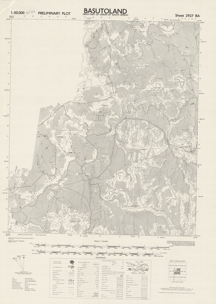
This map is a visualization of populated areas and towns with perment buildings, villages, huts, main and secondary roads, track, kraals, railways (with station siding, light and under construction) boundaries (international, provincial and district) telegraph (telephone lines, along road and track), power transmission lines, post office, wireless and police station, coart and rest (hotel) house, P.W.D., barracks, hospital, church, school, mission, mosque, tample, rest camp, mine, ruins, mineral working, fort, trigonometrical cat (primary, secondary and minor station), boundary pillar, spot heights in feet well and spring, lave and crate, prominent hill features, bridge, ferry, dam, river or watercourse, waterfall, rapids, rocks, well, spring, waterhole, lava and crater, forest (dense, medium and light), distrct names, scrub and scattered trees (large and small), lake, swamps, mangrove, rice, palm, mango, nippa, bamboo, plantation and cultivation.
-
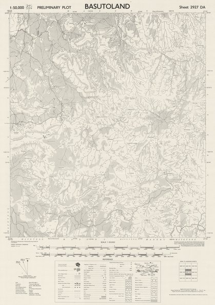
This map is a visualization of populated areas and towns with perment buildings, villages, huts,main and secondary roads, track, kraals, railways (with station siding, light and under construction) boundaries (international, provincial and district) telegraph (telephone lines, along road and track), power transmission lines, post office, wireless and police station, coart and rest (hotel) house, P.W.D., barracks, hospital, church, school, mission, mosque, tample, rest camp, mine, ruins, mineral working, fort, trigonometrical cat (primary, secondary and minor station), boundary pillar, spot heights in feet well and spring, lave and crate, prominent hill features, bridge, ferry, dam, river or watercourse, waterfall, rapids, rocks, well, spring, waterhole, lava and crater, forest (dense, medium and light), distrct names, scrub and scattered trees (large and small), lake, swamps, mangrove, rice, palm, mango, nippa, bamboo, plantation and cultivation.
-
This map is a visualization of populated areas and towns with perment buildings, villages, huts, main and secondary roads, track, kraals, railways (with station siding, light and under construction) boundaries (international, provincial and district) telegraph (telephone lines, along road and track), power transmission lines, post office, wireless and police station, coart and rest (hotel) house, P.W.D., barracks, hospital, church, school, mission, mosque, tample, rest camp, mine, ruins, mineral working, fort, trigonometrical cat (primary, secondary and minor station), boundary pillar, spot heights in feet well and spring, lave and crate, prominent hill features, bridge, ferry, dam, river or watercourse, waterfall, rapids, rocks, well, spring, waterhole, lava and crater, forest (dense, medium and light), distrct names, scrub and scattered trees (large and small), lake, swamps, mangrove, rice, palm, mango, nippa, bamboo, plantation and cultivation.
-
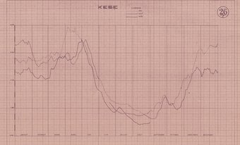
Title: Kese, Rivière Kasai - Route balisée De Kwamouth à Charlesville - Sheet number/Numéro de feuille/Bladnummer: 26/I
-
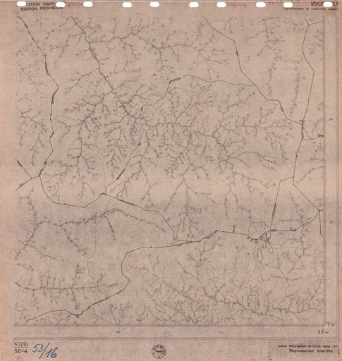
Title: Bulungu - Scale: 50000 - Restitution Simplifiée Reproduction Interdite - Sheet number/Numéro de feuille/Bladnummer: S7/21-SE4
-
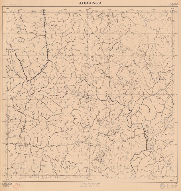
Title: Adranga - Scale: 25000 - Restitution simplifiée Triangulation radiale - Chambre claire - Sheet number/Numéro de feuille/Bladnummer: N2/30 NW-H
-
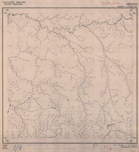
Title: Gemena - Scale: 50000 - Restitution simplifiée Reproduction Interdite - Sheet number/Numéro de feuille/Bladnummer: N3/19-NE4
-
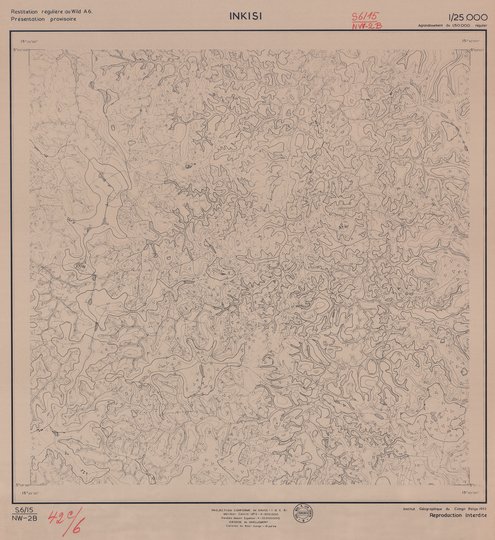
Title: Inkisi - Scale: 25000 - Restitution régulière au Wild A6 Reproduction Interdite - Sheet number/Numéro de feuille/Bladnummer: S6/15 NW2-B
-
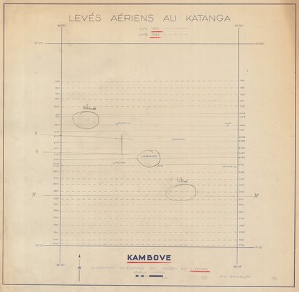
Title: Juin 1952 Juin 1953, Levés aériens au Katanga Kambove - Scale: 200000 - Disposition schématique des bandes au 1:20.000